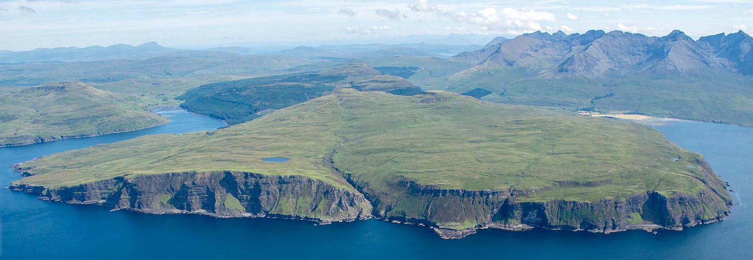
An aerial photograph of the Kraiknish peninsula, view facing north east
Lidar is an airborne form of surveying similar to laser scanning. A laser beam is pulsed from a sensor many thousands of times per second. The beam is scanned from side to side as the aircraft flies over the survey area, and, as the sensor records the echoes of the beam, a point cloud is formed comprising many millions of points. A digital terrain model can then be created, which can be lit from different angles to highlight topographic changes in height. The new survey data (covering 18 km2 at an impressive sixteen points per m2) allowed archaeologists to identify and map new sites, and test the potential of high-resolution lidar for targeted landscape survey and creative archaeological visualisation.
There had been relatively little previous work at Kraiknish in western Skye. The first ordnance surveyors to visit the area (in 1877) recorded only one antiquity – an iron age dun – although they did map the remains of more recent abandoned settlements.