Track Notes
Washpool-Gibraltar Range Circuit
With all the trimmings
Words James McCormack
Photography Quincy McCormack & James McCormack
High up on the plateau to the west of Grafton and east of Glen Innes in northern NSW lies Gibraltar Range NP. It's a reserve of fantastic granite country, full of spectacular and improbable tors and rock formations, subalpine swamps and wetlands, grass trees and open forests. Just to the north next door—it shares a border with it—lies the park's bestie: Washpool NP. But it's a case of opposites attracting, and of proximate geological and ecological diversity. The rainforests here are thick and abundant. Ferns and mosses abound. The soils, largely basaltic, are more fecund and fertile. Life flourishes.
But while Gibraltar Range seems hard, and Washpool lush and soft, the pair share much in common: outstanding scenery, deep valleys and wild country. Both drip with spectacular waterfalls; swimming holes are everywhere. And while Washpool is more noted for its rainforests, they do exist in Gib Range too. Both are part of the Gondwana Rainforests of Australia World Heritage Area.
Taking in both these national parks is the Gibraltar-Washpool World Heritage Walk. This 45km loop has been around for a while, but it deserves renewed focus as the circuit showcases everything that the nearby—and newly established—Gidjuum Gulganyi Walk is not. While that (similarly distanced and rainforested) walk no doubt traverses some beautiful country, it is expensive (at nearly $60/night for a campsite) and restrictive. It is one-way, requiring either two cars or an expensive shuttle. You must walk it one direction only, and you must stay at designated campsites, with the first day necessarily being just 8.5km, and the last day merely six.
The Gibraltar-Washpool World Heritage Walk, on the other hand, has few restrictions (although campsites must be booked). Start wherever you want; take as long as you want; walk whatever direction you want. The only thing that's not negotiable (look, it actually is, but if you want the best experience, it isn't) is to take in as many of the available side tracks as you can, ideally all 30km of them. Because while the main loop is OK, on its own it's not amazing. But chuck in all those sidetrips, and this incredibly varied walk is. Incredible cloud forests, giant trees, labyrinthine rock gardens, swimming holes, unusual geologic formations, deeply incised valleys, jaw-dropping views, rampantly verdant vegetation, some of the largest waterfalls in Australia—all this and more awaits anyone who tackles this four-day route. And it's worth knowing that four days is just a suggestion. You can easily stretch this route to five, six or even seven days; the choice is yours.
Quick Facts
Activity: Multi-day loop hike
Location: Gibraltar Range and Washpool NPs, northeastern NSW
Distance: 75km (approx. incl. all sidetrips)
Duration: 4+ days
When to go: Year-round is possible, but summer could feel very hot
Difficulty: Hard
Permits/fees required: No permits, but campsite fees ($12.30/night) required
Car shuttle required: No
Website: nationalparks.nsw.gov.au/things-to-do/walking-tracks/gibraltarwashpool-world-heritage-walk
Climate: Glen Innes
History, geology and ecology
The Gibraltar Range and Washpool National Parks were, and still are, Bundjalung, Ngarrabul and Gumbaynggirr lands. These peoples lived here for many thousands of years before European arrival, and the rugged country here became an important refuge for them and other First Nations peoples when European occupiers forced them into displacement.
Because of the poor soils and rugged terrain, farming by Europeans here was limited. Heavy logging began taking place in the area from the 1800s, with red cedars particularly prized. Mining also took place in the area. In the 1920s, Bill Mulligan proposed a hydro-electric scheme in the Dandahra Creek area to rework mine tailings. Construction of the Gwydir Highway in 1960 radically opened access to the area, followed by the reservation of Gibraltar Range NP in 1963 and Washpool NP in 1983. In 1986, the important rainforests in the two parks led to their inclusion in the Gondwana Rainforests of Australia World Heritage Area.
The area is one of the state's most ecologically diverse areas. Subtropical rainforests, cloud forests, and wet and dry sclerophyll forests all exist here, as do perched heathlands, wetlands, grasslands, and the most northerly subalpine vegetation in Australia.
This diversity is in part due to the ruggedness of the terrain and sheer relief, and to the area's geology. The Demon Fault runs through here; the land tore apart in the Triassic Era, with granitic rock country sliding 20km past the older metasedimentary rocks on the other side. The granitic country is dominated by dry sclerophyll forests including eucalypts, with the rainforests and wet sclerophyll in the basalt and metamorphic areas.
The area is also noted for its faunal diversity. Species include powerful owls, potoroos, lyrebirds, quolls, dingoes (we heard them howling at night), bettongs, platypuses, parma wallabies, giant barred and pouched frogs, and now, sadly, cane toads, apparently.
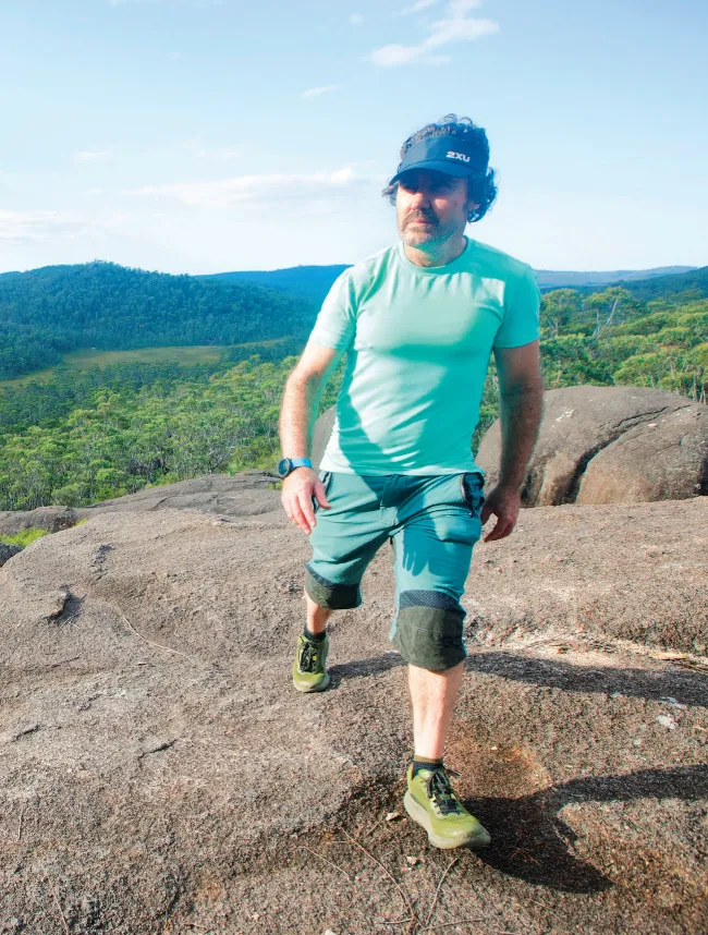
Approaching Dandahra Crags
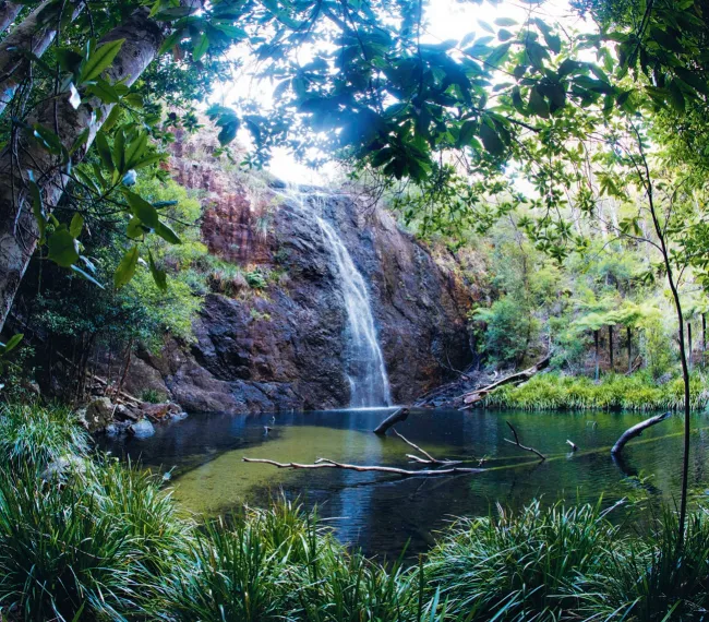
Boundary Falls
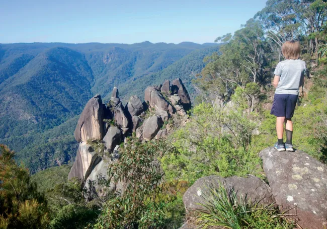
Twin Needles Viewpoint